


OSMM Imagery Layer (Aerial Tiles) covers the whole of Great Britain - Overview
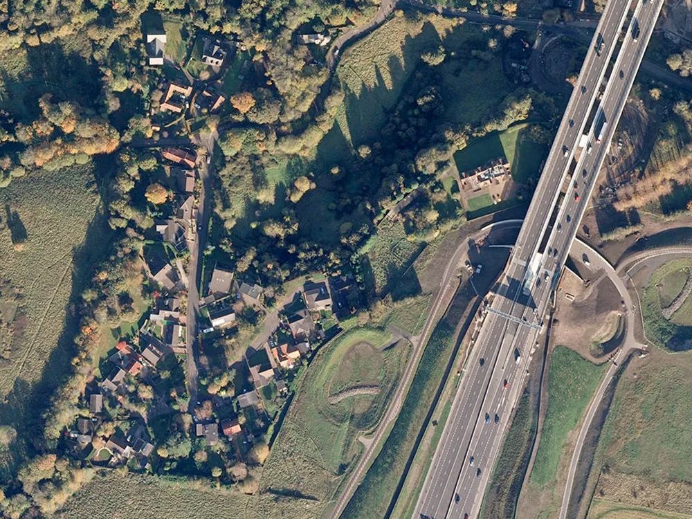
OS MasterMap Imagery Layer uses the same source imagery that underpins Ordnance Surveys large-scale data updates. Their processing software produces true-orthorectified imagery, removing building lean from aerial imagery to give you a consistent top-down view. Ideal for:
- Risk Management
- Site Planning
- Property Development
- Asset Management
- Agricultural Services
- Environmental Monitoring
- Placing behind OS Mastermap Topographical Layer
- Unlimited outputting (eg PDFs) from GIS of any scale within the selected licence term
NOTE: Alternative OS Aerial products if you don't use GIS:
Alternative Products: