


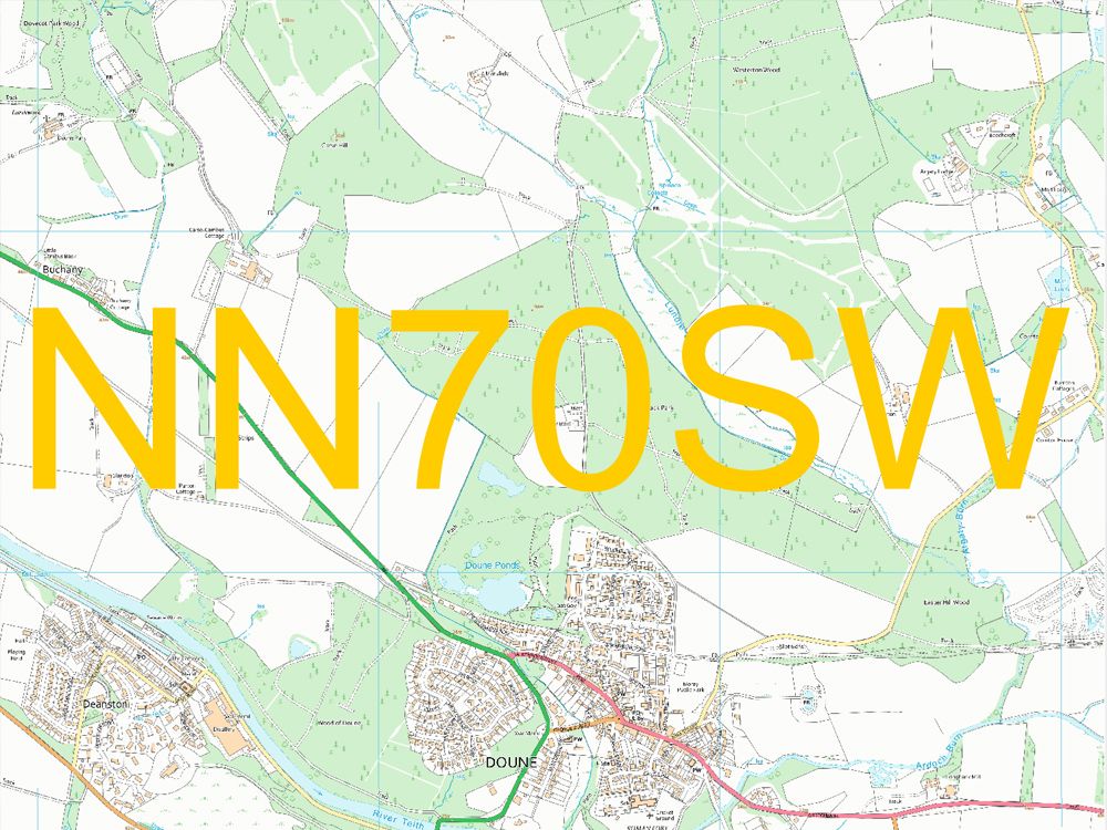
OS 10k GeoTiff Raster Data Tiles - Overview
Key features of the product:
- A national dataset available for backdrop raster mapping; the vector format lends itself to detailed data analysis and bespoke styling
- Automated output taken directly from the OS Large-Scale Topographic Database, giving improved currency and consistency that's in-line with the OS MasterMap Topography Layer product and other OS generalised mapping products
- Cleaner, clearer raster GeoTIFF (Geographic Tagged Image File Format) outputs
- Improved generalised building geometries derived from large-scale data
- Features are not cut at tile edges; therefore, the topological relationships of features are maintained
- The nominal viewing scale is 1:10 000, with a recommended viewing scale range of 1:3,000 to 1:20 000
Alternative Products: